Having Fun with the
Topographic Rock Activity
Contour (or Topographic) Maps
Finding the Gradient
Introduction to Topographic Maps
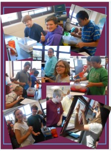
In class this week we are reviewing maps, and beginning our study of Topographic Maps. Below is a video that demonstrates the activity planned for this week. If you missed the activity, you can view below and see what we did!
Mountains are a great way to use and show the use of elevation maps. Back at Nature’s Classroom they hiked the hills behind the camp.
In class this week we will start to study Maps and their uses.
TOPOGRAPHY shows us the shapes and features of the earth’s surface, and TOPOGRAPHIC MAPS use CONTOUR LINES to represent the changes in elevation. In class you are learning the vocabulary of contour lines, index contours, and contour intervals.
Below is a topographic map of the hiking trails and the elevations around a past Nature’s Classroom location.

Click on the map to make it bigger.
Look at the contour lines and then answer the following questions:
1. What is the elevation of Jabez Pond?
2. What is the distance between the Index Contours? Remember, these are the darker lines.
3. How many contour lines are there between the darker Index Contours?
4. Therefore, what is the Contour Interval?
5. Challenge Question: What is the approximate elevation of the top of No 108 Mountain?